From the maple seat to the Swiss stone pine pulpit.
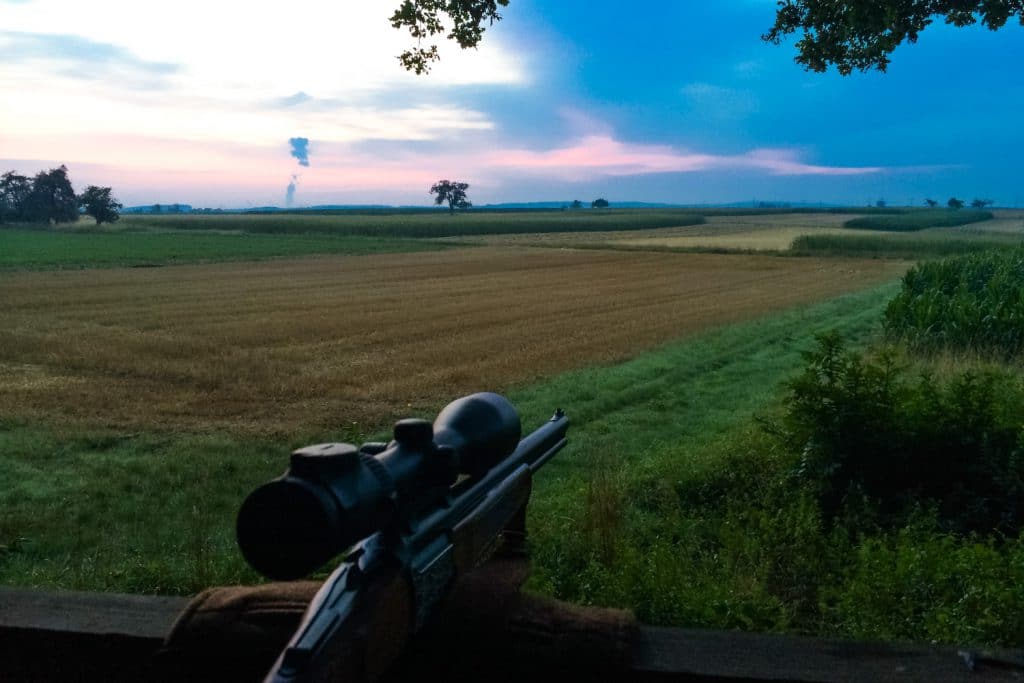
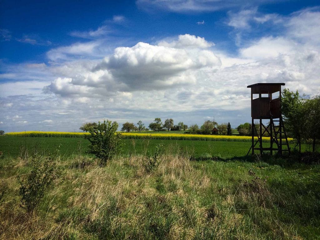
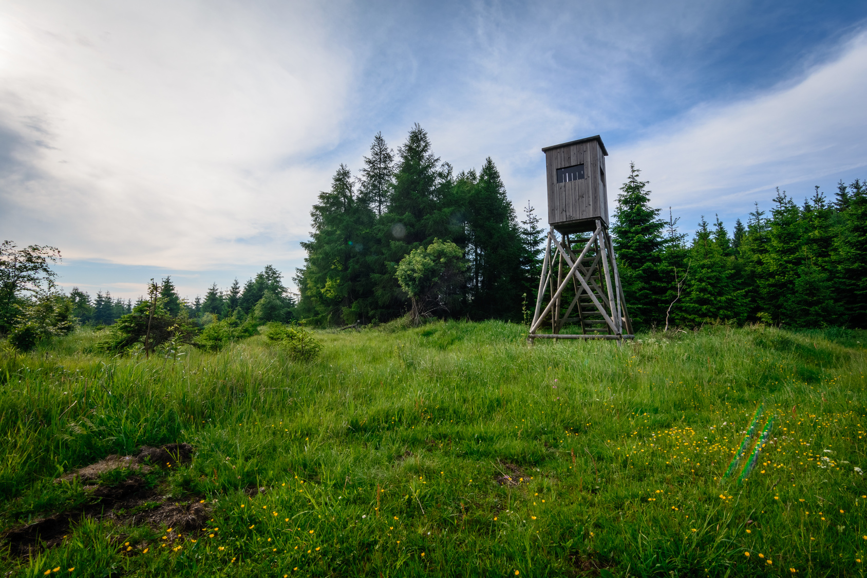
The most important thing in the hunting group – apart from the hunting ground boundary – is the hide. You can create them very easily in the hunting ground world. To do this, use your cell phone and the REVIERWELT app to go to your hunting group, add the coordinates displayed at the touch of a button and complete the data with any other information you require. This includes, for example, the shooting direction, type of turret, year of construction, condition, reservation option and much more. Of course, you can also create images of your hunting ground facilities and even 360° panoramic images.
Of course, you can also use your computer to record and manage the inspection facilities and add your own or predefined symbols. They can also be printed out or exported to Excel for further processing.
Hunting grounds can be divided into categories and switched to active/inactive. For example, you can display only certain hide options on the hunting ground map for a driven hunt.
With the help of the compass and the augmented reality function, you can navigate to your hunting grounds at any time.