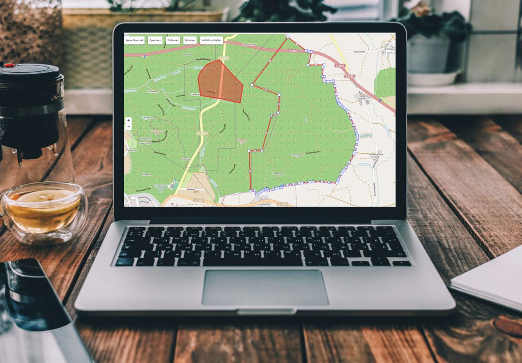
Show the limits.
The hunting ground boundary – the most important element on your district map – can be drawn directly in Revierwelt. The most convenient way to do this is in full-screen mode on the computer. However, you can also import the boundary points using coordinates. You can also read the coordinates from the district map and save them as a text document.
Of course, you can also create several independent districts in Revierwelt.
All paths and areas can be drawn with any color and can also be displayed transparently.
Paths and surfaces
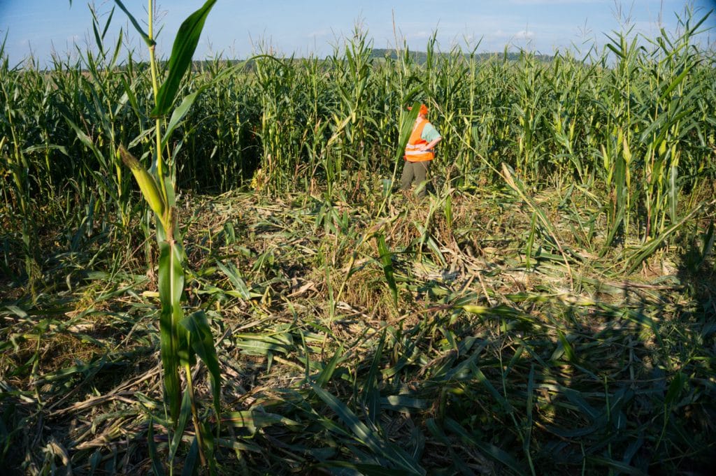
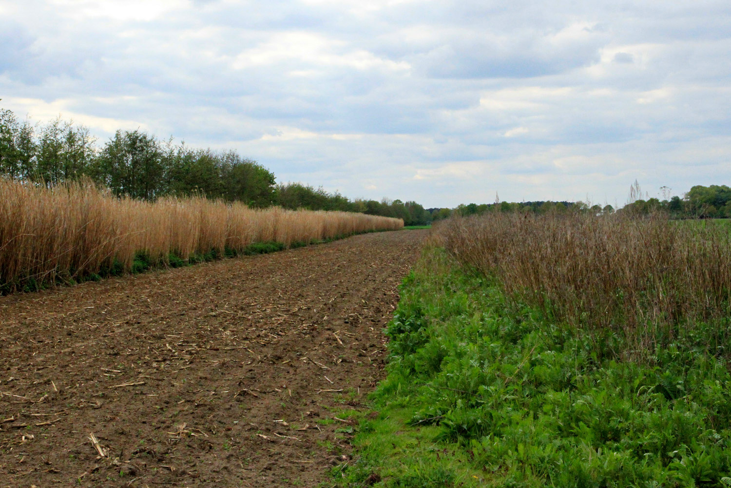
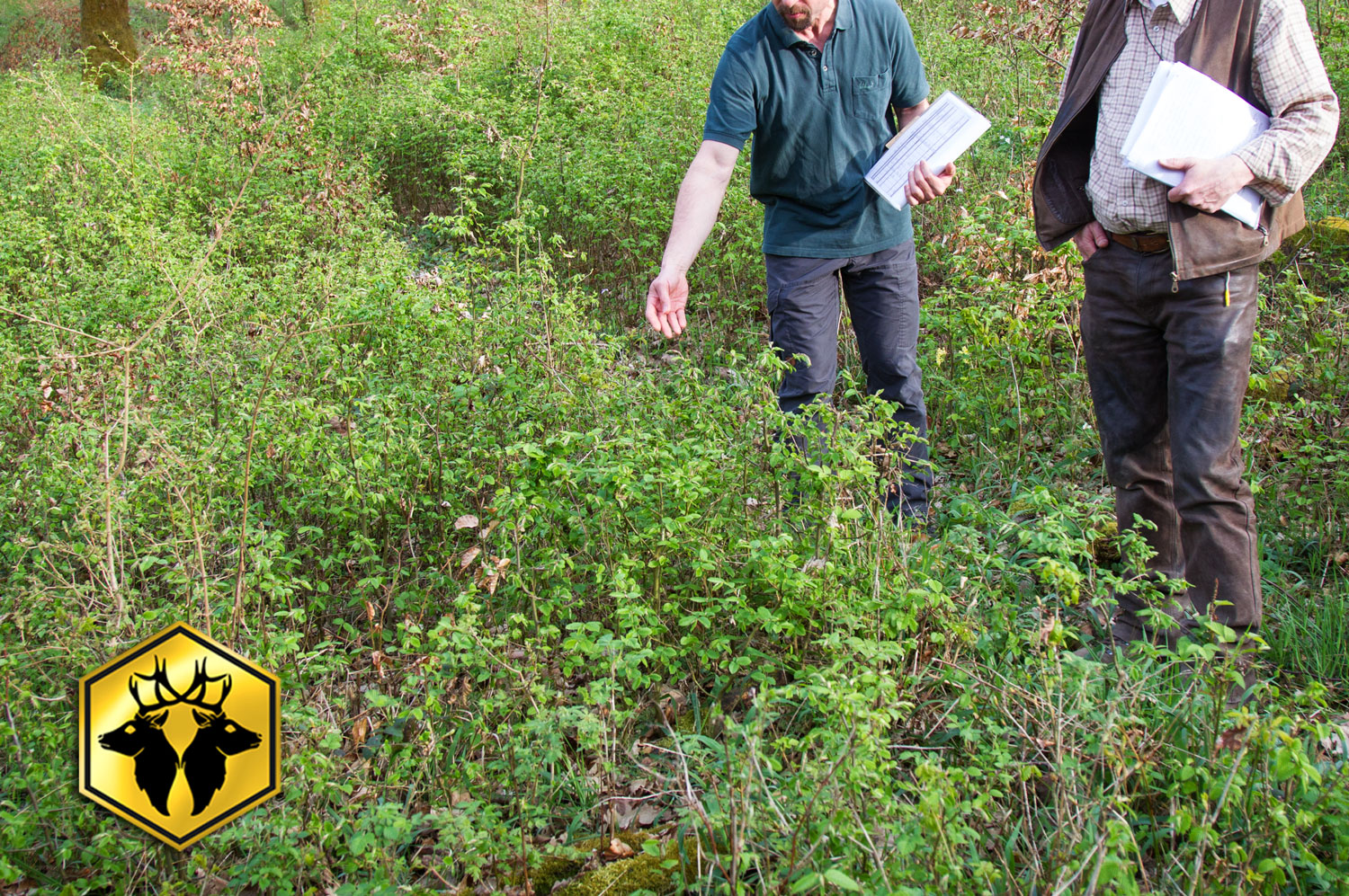
Revierwelt offers the option of drawing paths or closed areas or importing or entering them via coordinates. For example, areas at risk of game damage or thickets can be marked for the stalking group. You can also display stalking districts that can be used like a hunting ground via the hide reservation reservation. One area of application for the path function is, for example, drawing in game trails or stalking paths.
On the district map, you have the option of measuring distances and displaying the size of areas or the length of paths. Click on the object to obtain additional descriptions, if available.