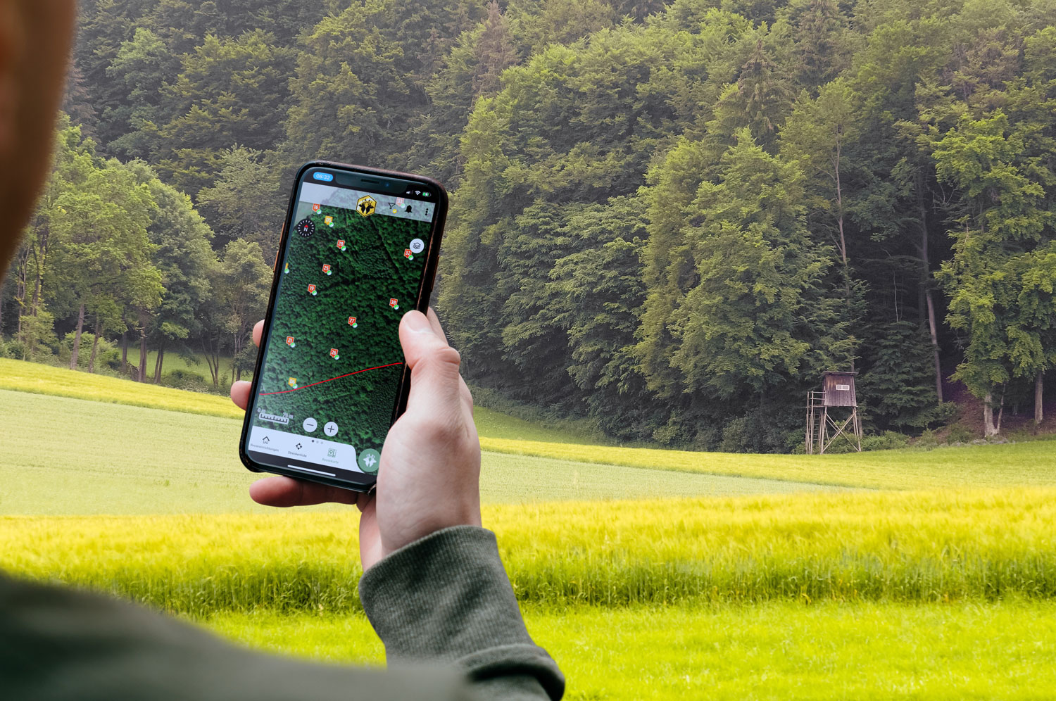
The basis of your territory world.
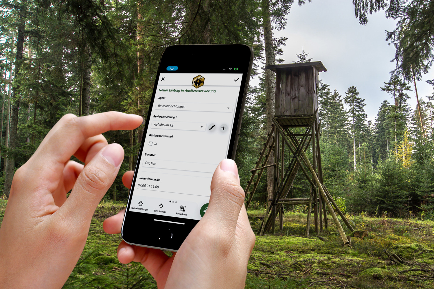
The hunting ground map with the marked hunting ground boundary forms the heart of your hunting ground world. All data recorded in the hunting ground administration, such as hunting ground facilities, route reports, hotspots, POIs, diary entries etc. can be provided with your own or predefined symbols and displayed on the area map in a clear form.
Filter options can improve the clarity of the display. In full-screen mode, you get a perfect overview of your entries.
The district map displays either Google Maps, OpenStreetMap or country-specific maps as graphics or satellite images.
If you do not manage your own hunting group, you can automatically create a “virtual hunting ground” to enjoy the full functionality of Revierwelt. This makes Revierwelt the ideal tool for every hunter.